overleaf template galleryCommunity articles — Recent
Papers, presentations, reports and more, written in LaTeX and published by our community.
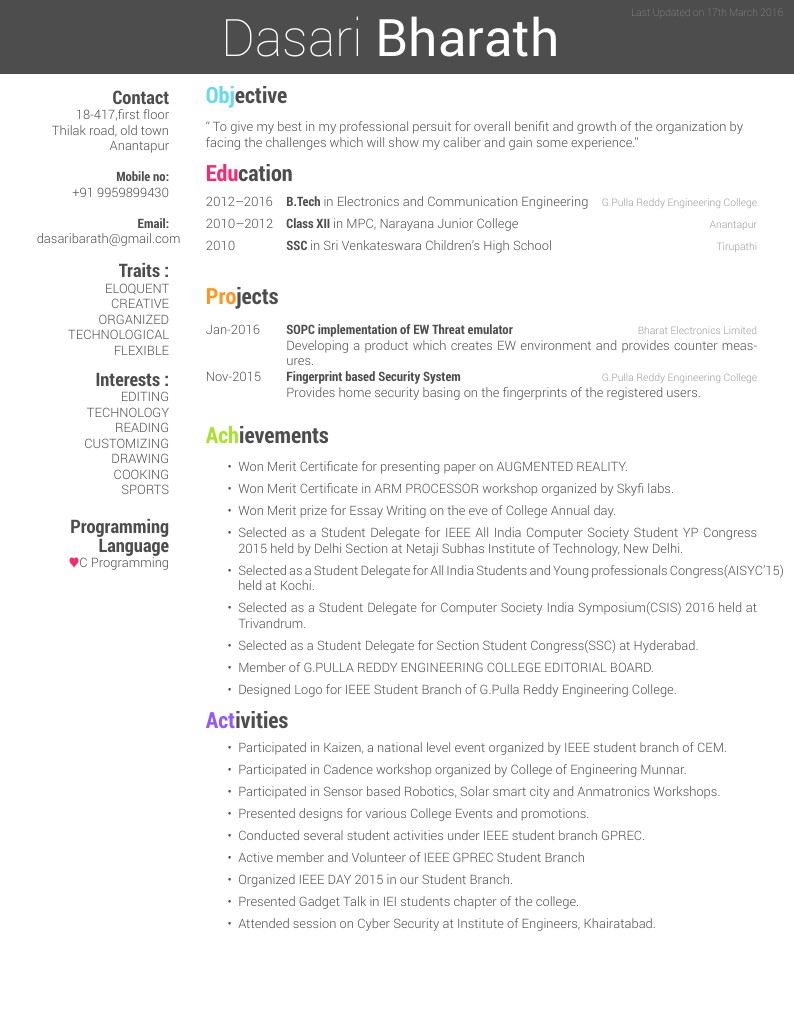
Dasari Bharath's Résumé
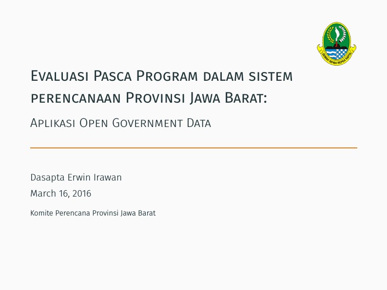
The following slides were presented in front of Board of Planning and Development of West Java Province, Indonesia. The objective is to promote open archiving for governmental data.
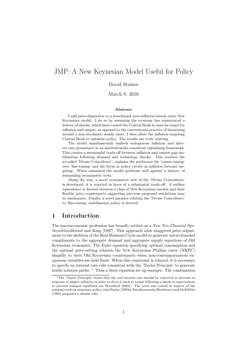
I add price-dispersion to a benchmark zero-inflation steady-state New Keynesian model. I do so by assuming the economy has experienced a history of shocks, which have caused the Central Bank to miss its target for inflation and output, as opposed to the conventional practice of linearizing around a non-stochastic steady state. I then allow the inflation targeting Central Bank to optimize policy. The results are truly starting.\par The model simultaneously embeds endogenous inflation and interest rate persistence in an institutionally-consistent optimizing framework. This creates a meaningful trade-off between inflation and output-gap stabilization following demand and technology shocks. This resolves the so-called 'Divine Coincidence', explains the preference for 'coarse-tuning' over 'fine-tuning' and the focus in policy circles on inflation forecast targeting. When estimated the model performs well against a battery of demanding econometric tests. \par Along the way, a novel econometric test of the 'Divine Coincidence' is developed- it is rejected in favor of a substantial trade-off. A welfare equivalence is derived between a class of New Keynesian models and their flexible price counterparts suggesting previous proposed resolutions may be inadequate. Finally, a novel paradox relating the 'Divine Coincidence' to 'fine-tuning' stabilization policy is derived.
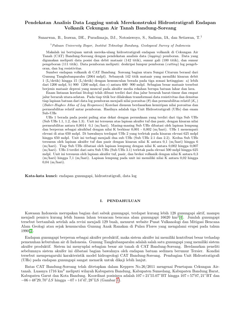
Makalah ini bertujuan untuk mereka-ulang hidrostratigrafi endapan volkanik di Cekungan Air Tanah (CAT) Bandung-Soreang dengan pendekatan analisis data (logging) pemboran. Data yang digunakan meliputi data posisi dan debit mataair (142 titik), sumur gali (100 titik), dan sumur pengeboran (111 titik). Data pemboran meliputi: deskripsi lumpur pemboran (cutting) log pengeboran, dan log resistivitas. Sumber endapan volkanik di CAT Bandung – Soreang bagian utara Sungai Citarum berasal dari Gunung Tangkubanparahu (2064 mdpl). Sebanyak 142 titik mataair yang memiliki kisaran debit 1 (L/detik) hingga 15 (L/detik) dengan kemunculan berada pada tiga zonasi ketinggian: a) lebih dari 1200 mdpl, b) 900 – 1200 mdpl, dan c) antara 600 – 900 mdpl. Sebagian besar mataair tersebut berjenis mataair depresi yang muncul pada akuifer media rekahan berupa batuan lahar dan lava. Enam lintasan korelasi litologi telah dibuat terdiri dari dua jalur berarah barat-timur dan empat jalur berarah utara-selatan. Pada tiap titik bor dilakukan transformasi data resistivitas dan densitas tiap lapisan batuan dari data log pemboran menjadi nilai porositas (θ) dan permeabilitas relatif (Kr) (Baker-Hughes Atlas of Log Responses) Korelasi disusun berdasarkan kemiripan nilai porositas dan permeabilitas relatif antar pemboran. Hasilnya adalah tiga Unit Hidrostratigrafi (UHs) dan enam Sub-UHs UHs 1 berada pada posisi paling atas dekat dengan permukaan yang terdiri dari tiga Sub UHs (Sub UHs 1.1, 1.2, dan 1.3). Unit ini tersusun atas lapisan akuifer tuf dan pasir, dengan kisaran nilai permeabilitas antara 0,0014 – 0,1 (m/hari). Masing-masing Sub UHs dibatasi oleh lapisan lempung dan berperan sebagai akuiklud dengan nilai K berkisar 0,001 - 0,002 (m/hari). UHs 1 menempati elevasi di atas 650 mdpl. Di bawahnya terdapat UHs 2 yang terletak pada kisaran elevasi 625 mdpl hingga 650 mdpl. Unit ini terbagi menjadi dua sub UHs (Sub UHs 2.1 dan 2.2). Kedua Sub UHs tersusun oleh lapisan akuifer tuf dan pasir dengan kisaran nilai K antara 0,1 (m/hari) hingga 6 (m/hari). Tiap Sub UHs dibatasi oleh lapisan lempung dengan nilai K antara 0,002 hingga 0,007 (m/hari). UHs 3 terdiri dari satu Sub UHs (Sub UHs 3.1) terletak pada elevasi 500 mdpl hingga 625 mdpl. Unit ini tersusun oleh lapisan akuifer tuf, pasir, dan breksi volkanik dengan nilai K antara 0,3 (m/hari) hingga 7,1 (m/hari). Lapisan lempung pada unit ini memiliki nilai K antara 0,02 hingga 0,04 (m/hari).
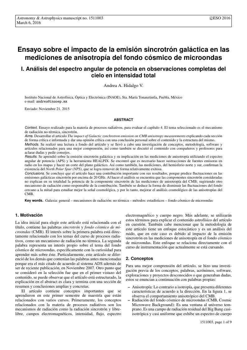
A nice report I did for my Radiative Processes Course.
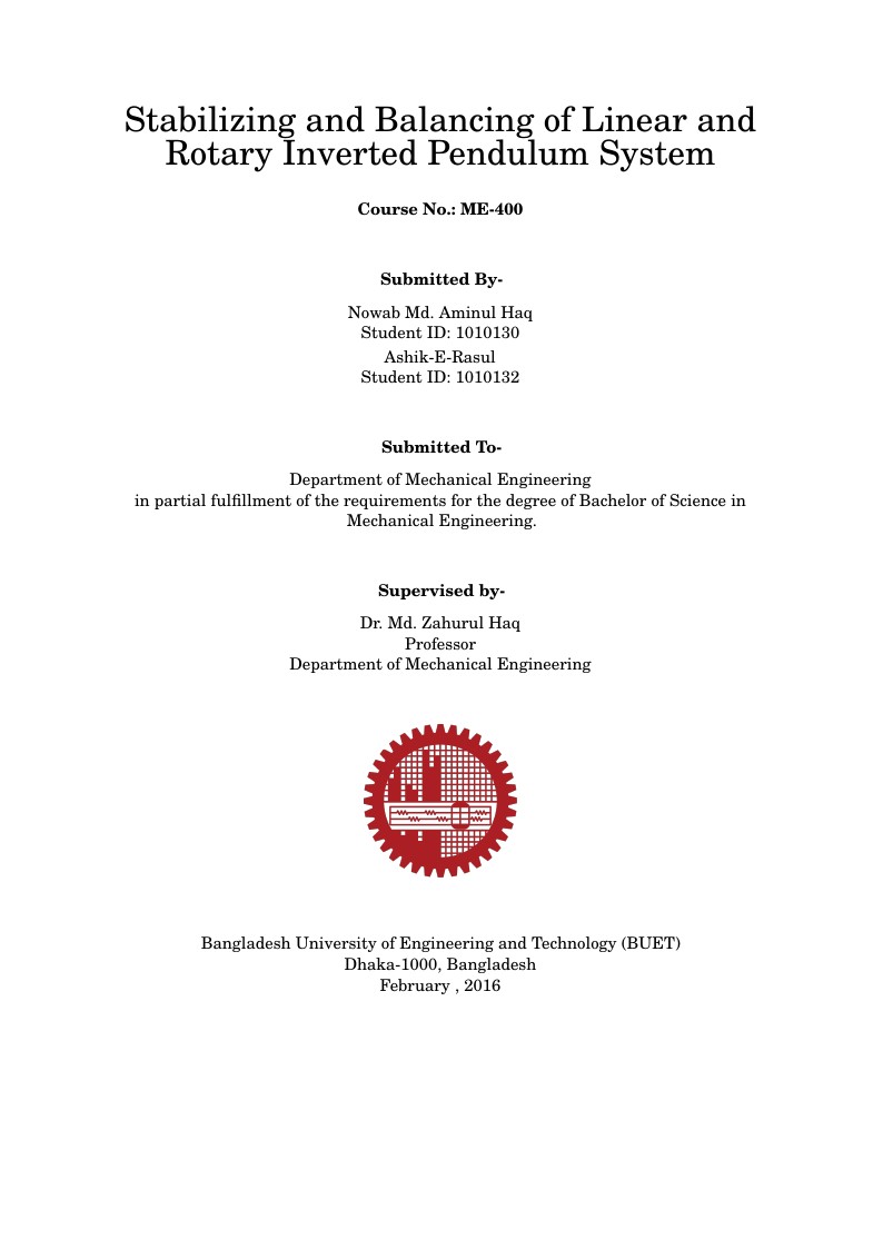
Contains the thesis template using memoir class, which is mainly based on book class but permits better control of chapter styles for example. This template is an adaptation and modification of Oscar's. Memoir is a flexible class for typesetting poetry, fiction, non-fiction and mathematical works as books, reports, articles or manuscripts. UoB guidelines: The dissertation must be printed on A4 white paper. Paper up to A3 may be used for maps, plans, diagrams and illustrative material. Pages (apart from the preliminary pages) should normally be double-sided. Memoir class loads useful packages by default (see manual).
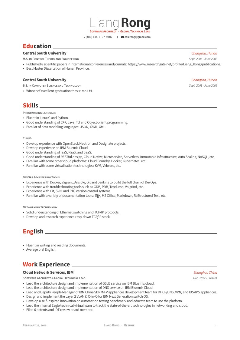
Liang Rong's CV (in English)
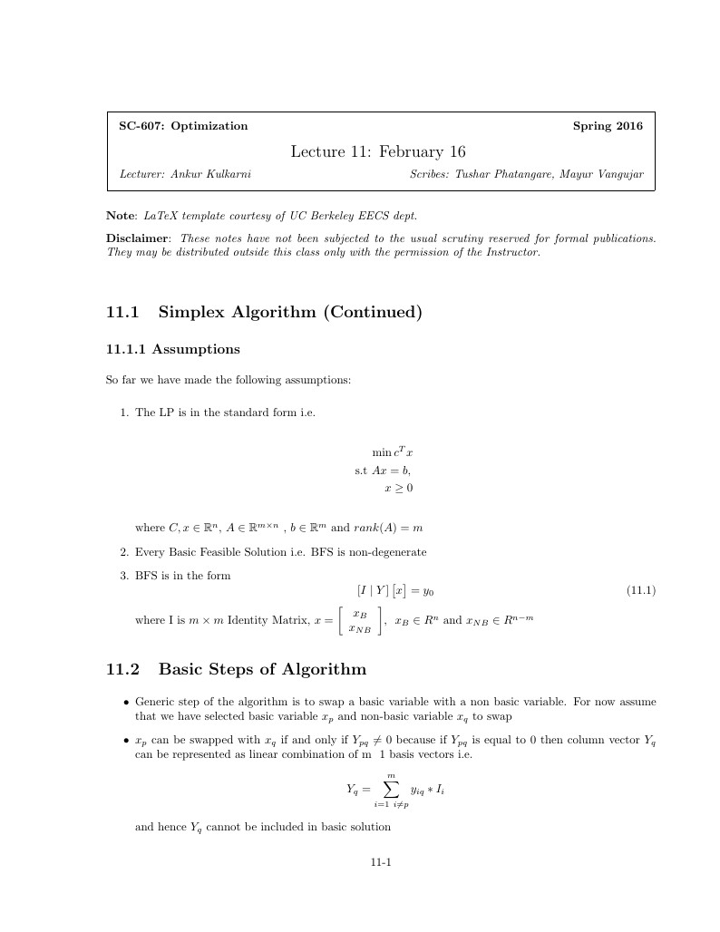
Lecture note on the Simplex Method

This is a quick Bio Sheet I created for a D&D campaign I was playing. It uses a polish brochure template that I edited. I forgot where I got that from but if someone recognizes it, please let me know and I shall credit the right source. image credit: Rob-joseph/Deviantart
\begin
Discover why over 25 million people worldwide trust Overleaf with their work.